Excursion to Lake Seta
Distance: 38km
Location on Google Maps: Click here
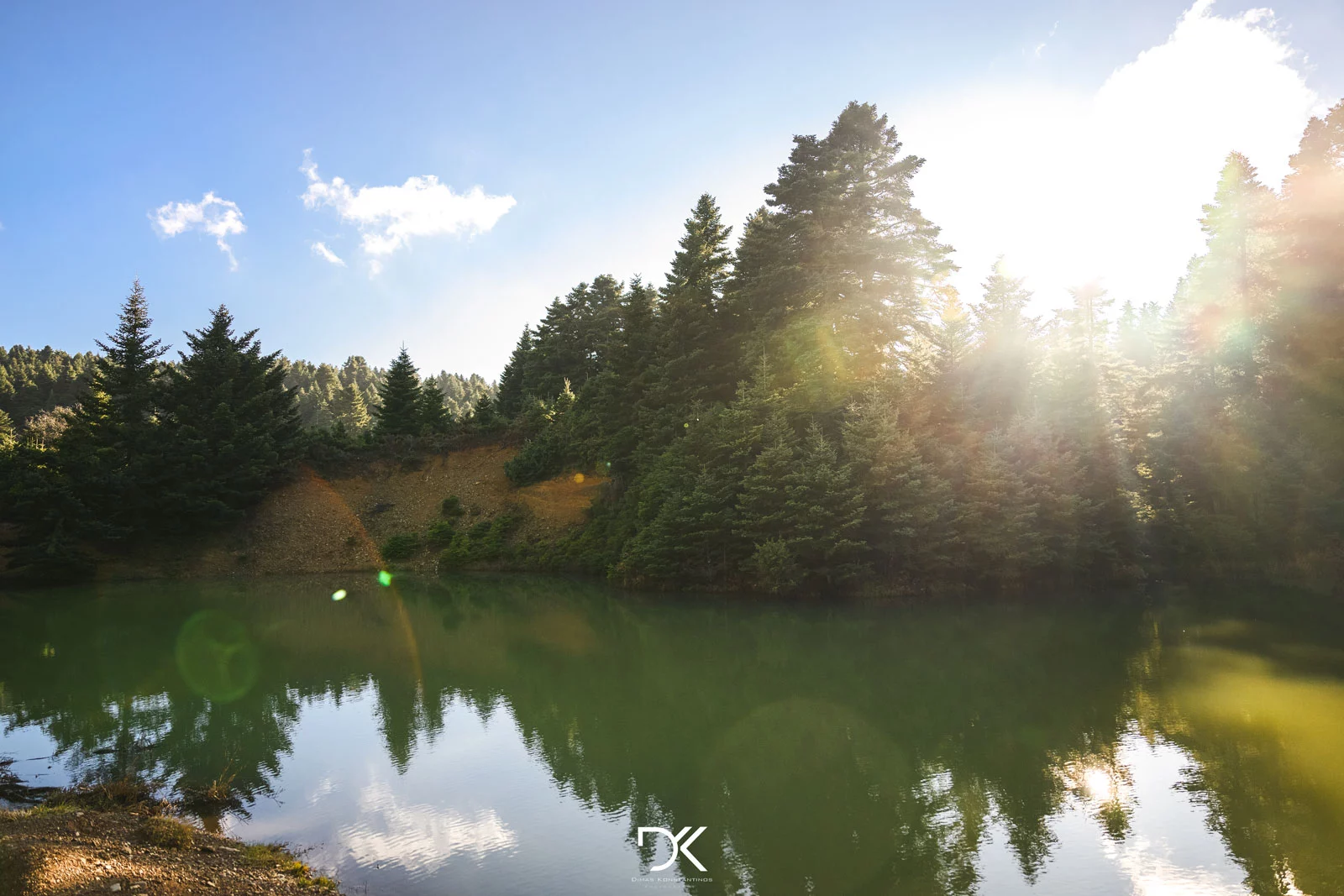
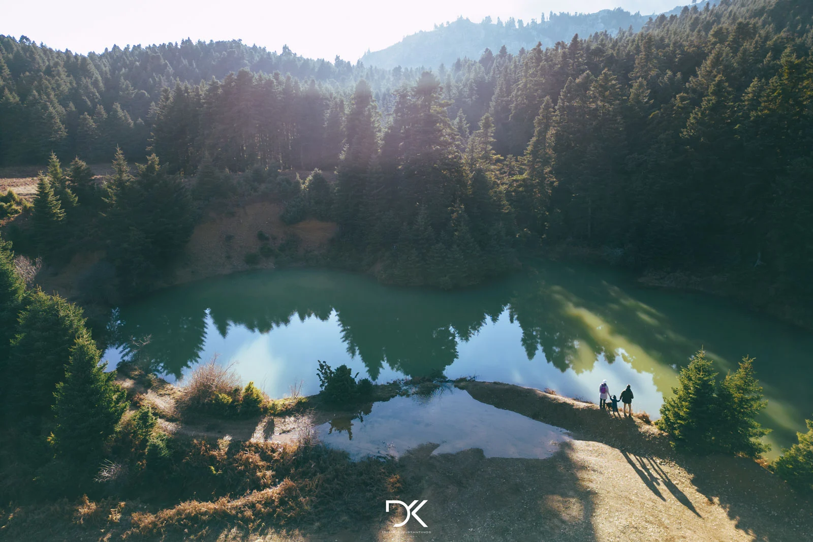
Located 38km from Kymi and approximately an hour’s drive by car, Lake Seta is a place for those who want to relax amidst the fir trees, as well as for those who want to unwind by hiking or cycling on the various trails in the area.
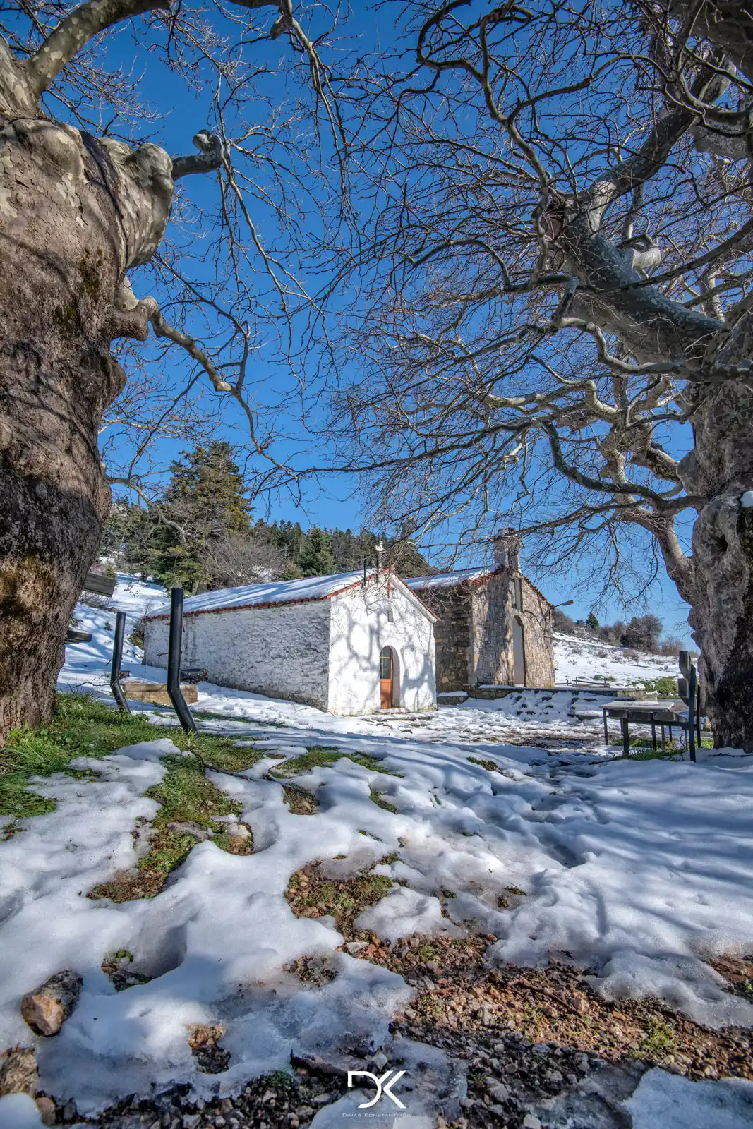
The ideal time to visit is spring when the lake and streams have plenty of water, and the snow has melted, making it feasible to reach. If you go during the winter months, it is highly likely that you won’t be able to reach even the nearby village of Ampoudiotissa due to heavy snowfall at higher altitudes. However, even then, it is worth taking a stroll to enjoy the snow-covered landscape.
Distance: 38km
Location on Google Maps: Click here
Located 38km from Kymi and approximately an hour’s drive by car, Lake Seta is a place for those who want to relax amidst the fir trees, as well as for those who want to unwind by hiking or cycling on the various trails in the area.
The ideal time to visit is spring when the lake and streams have plenty of water, and the snow has melted, making it feasible to reach. If you go during the winter months, it is highly likely that you won’t be able to reach even the nearby village of Ampoudiotissa due to heavy snowfall at higher altitudes. However, even then, it is worth taking a stroll to enjoy the snow-covered landscape.
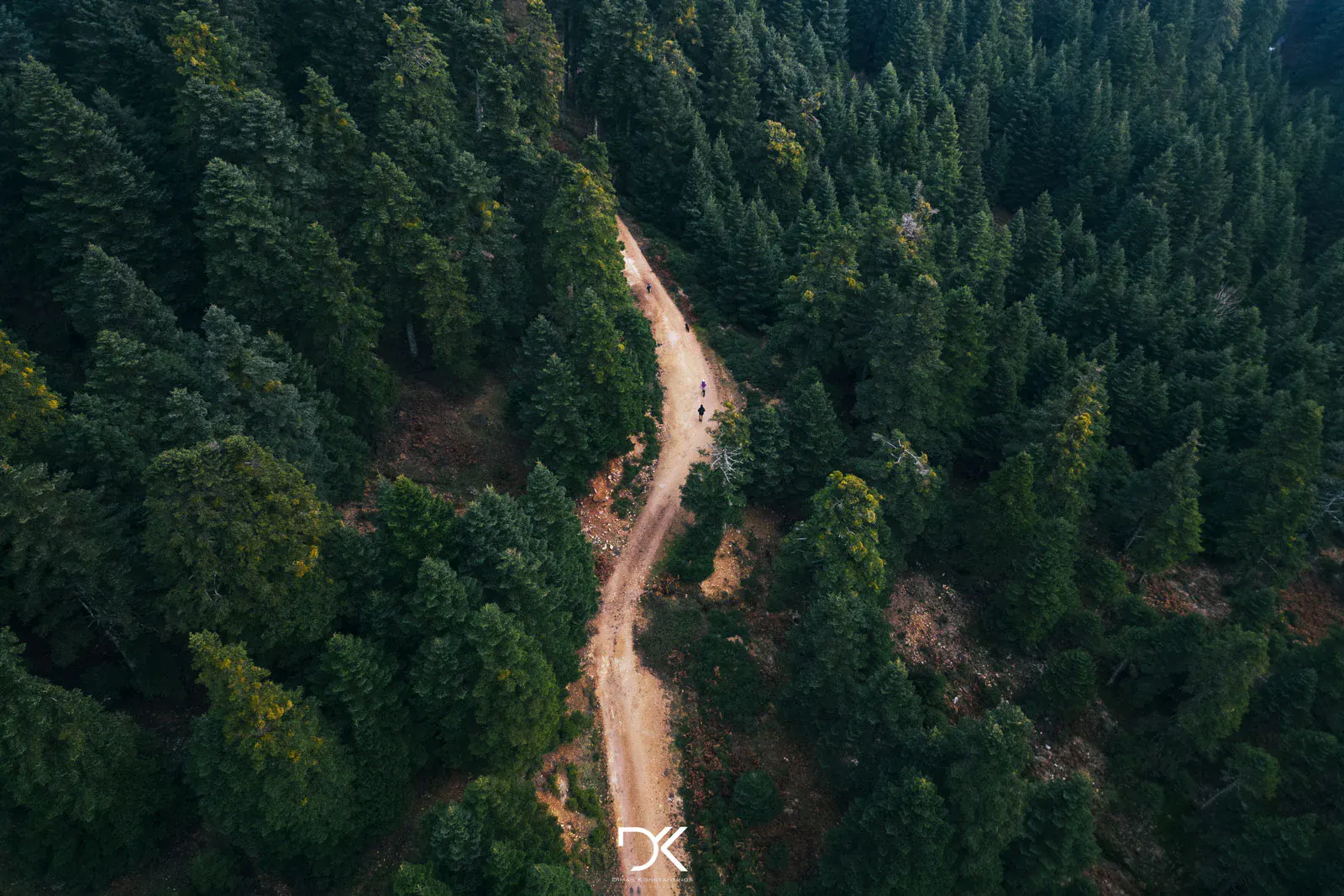
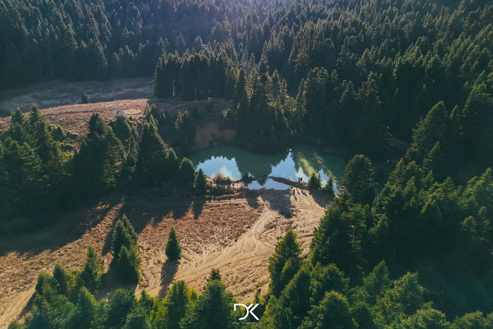
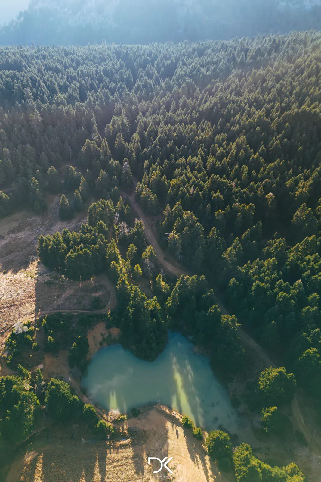
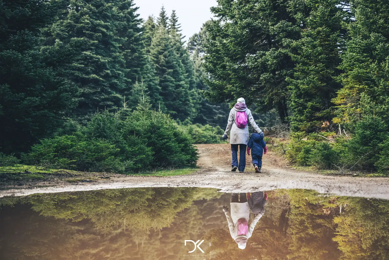
Those with a 4×4 vehicle can drive right next to the lake, while those without one will need to walk 2.5km on a dirt road to reach it and the same distance to return.
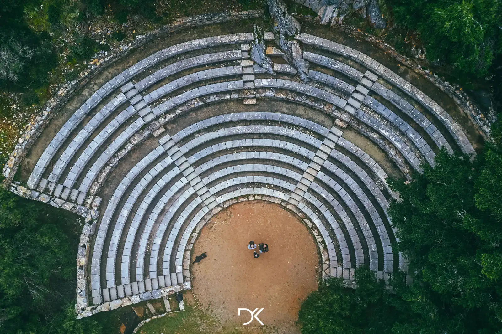
After visiting the lake, you can drive to the village of Seta, see the picturesque small theater located near the village square, and then have a meal at one of the surrounding taverns.
Directions: The location of the lake can be found here, but if you enter it into your GPS, it will take you on roads that not even tractors can handle. So, to go on the right road, it’s best to initially enter “Kato Seta” in your mobile GPS and make sure it takes you through the village of Manikia. Once you pass through the village of Kato Seta, there is a sign pointing to Ampoudiotissa, but be aware that it faces the opposite direction, so keep that in mind. The road until that point is paved and quite good, but always drive with caution as there are many curves.
From there, enter the coordinates that mark the starting point of the dirt road to the lake into your GPS. Until that point, the road is paved but has several potholes that require attention, especially at the beginning.
Finally, input the coordinates of Lake Seta into your phone, and it will take you directly there. It’s a good idea to have opened the maps earlier because, from a certain point (Ampoudiotissa), there is no signal at all. The dirt road definitely requires a 4×4 vehicle, but if you don’t have one, trust me, it’s a very nice hike to do on foot (2.5km to go and 2.5km to return).
For those who do not want to get confused, simply enter the route on Google Maps from here, and if you follow it exclusively, you’ll reach just fine. Here is the Kml file for those who want to use another application.
Additional information:
– If you continue by car until this point, you will see the incredible view and the summit of Mount Dirfys.
– If you walk a little further from the lake, there is a very nice cave to visit and a small stream there. (cave location)
– The mountain near the lake is called Xerovouni and has several hiking trails for hiking enthusiasts.