HIKE TO THE WATERFALL
IN MANIKIA
Distance: 8.2km (4.1 km one way and another 4.1 km to return)
Type of trail: Out-and-back
Difficulty level: Moderate
Hiking time: 4 hours
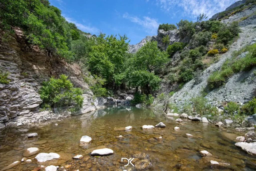
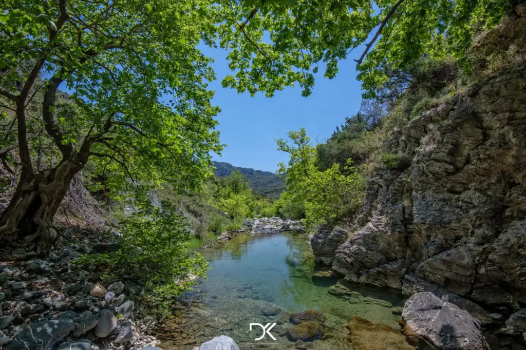
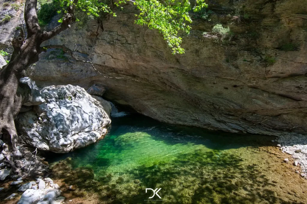
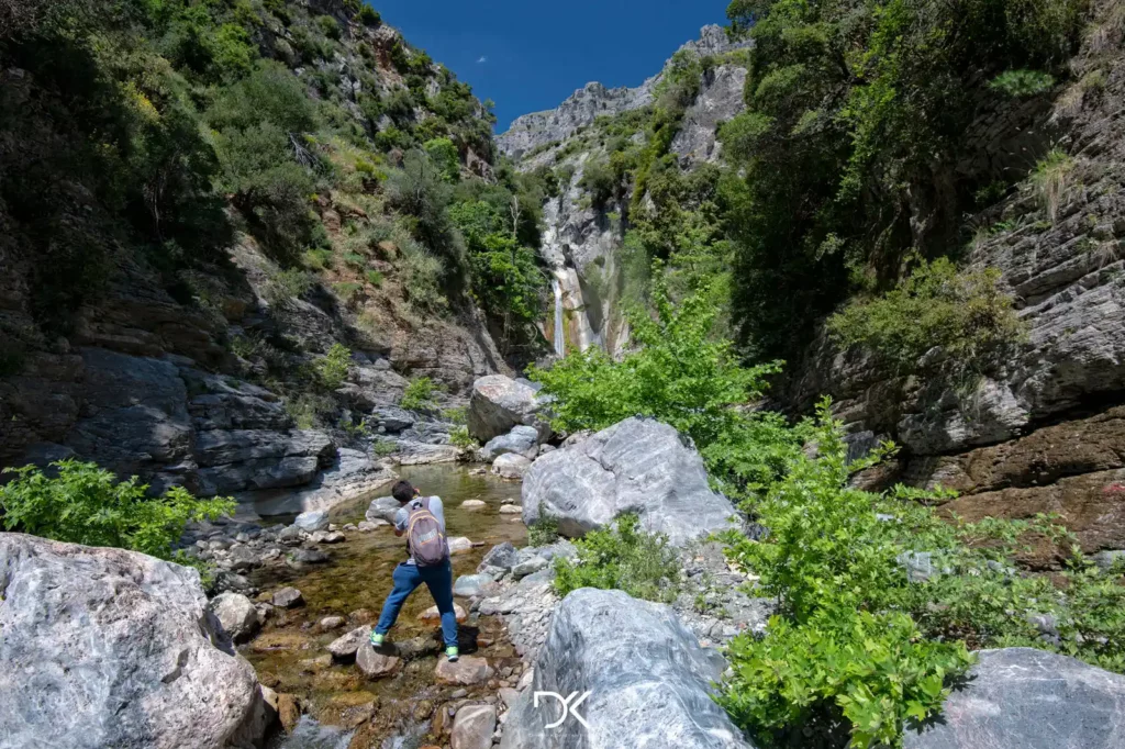
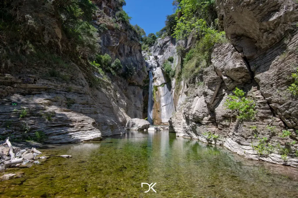
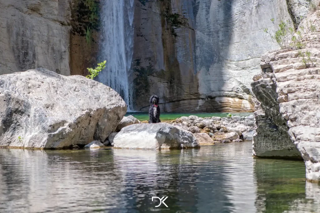
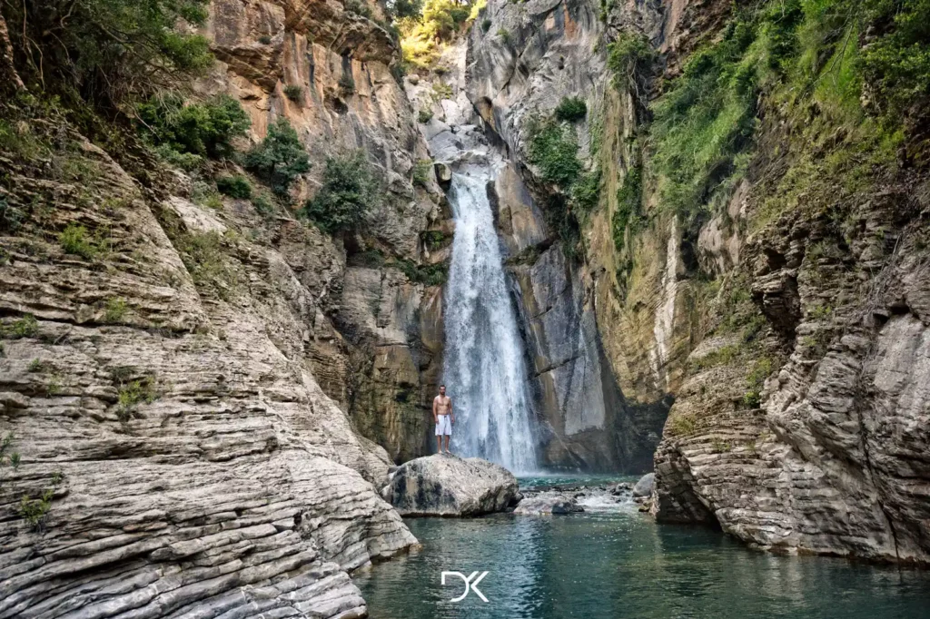
A path so beautiful and exotic that you feel like you’re somewhere else, not in Greece! Rivers, waterfalls, small lakes, and even a very tiny sandy beach (just enough for two people) are some of the things you will see along the trail!
The best time to hike this trail is early summer when the river has less water, making it easier to cross. Keep in mind that it will be challenging to keep your shoes dry, so it’s a good idea to have a second pair in your car for the return. Don’t forget to bring your swimsuit, camera, and towel.
Directions: Unfortunately, this year the easy and nearby route that used to exist for access has become difficult due to a road collapse. Therefore, the safest route now is from the central square of the village Manikia.
Here you can see the entire trail on Google Maps. The Kml file is also available for anyone who wants to use it with another application.
However, if you do not want to hike that much, you can drive as far as you want on the dirt road and then continue on foot.

