Kymi – Ortari
Choneftiko
Distance: 18.2km
Bike: Electric Mountain
Route Type: Circular, 5.2 km asphalt and challenging dirt road. In winter, there are muddy sections.
Difficulty Level: Difficult
Elevation Gain: 763 m
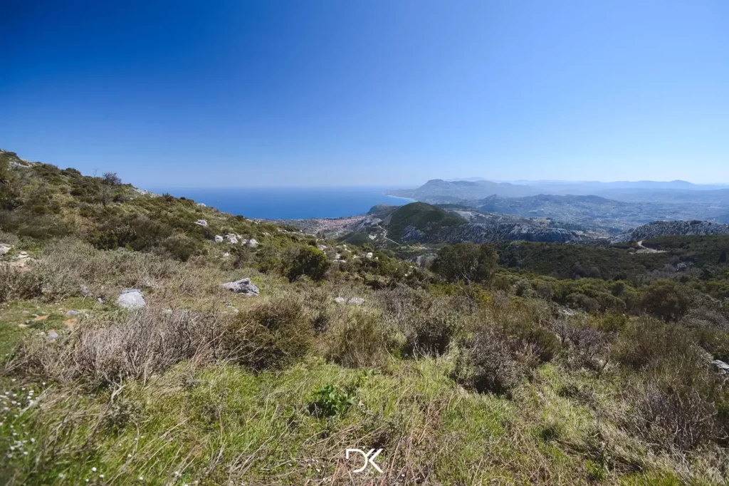
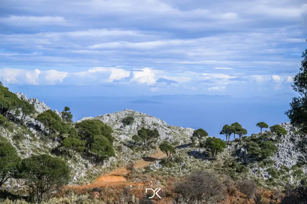
This route is quite hilly, leading up to Ortari, one of the highest cliffs in Europe that starts from the sea. Unfortunately, you cannot reach the summit by bike as it becomes a rocky trail that is accessible only on foot. However, the scenic views throughout the route are breathtaking.
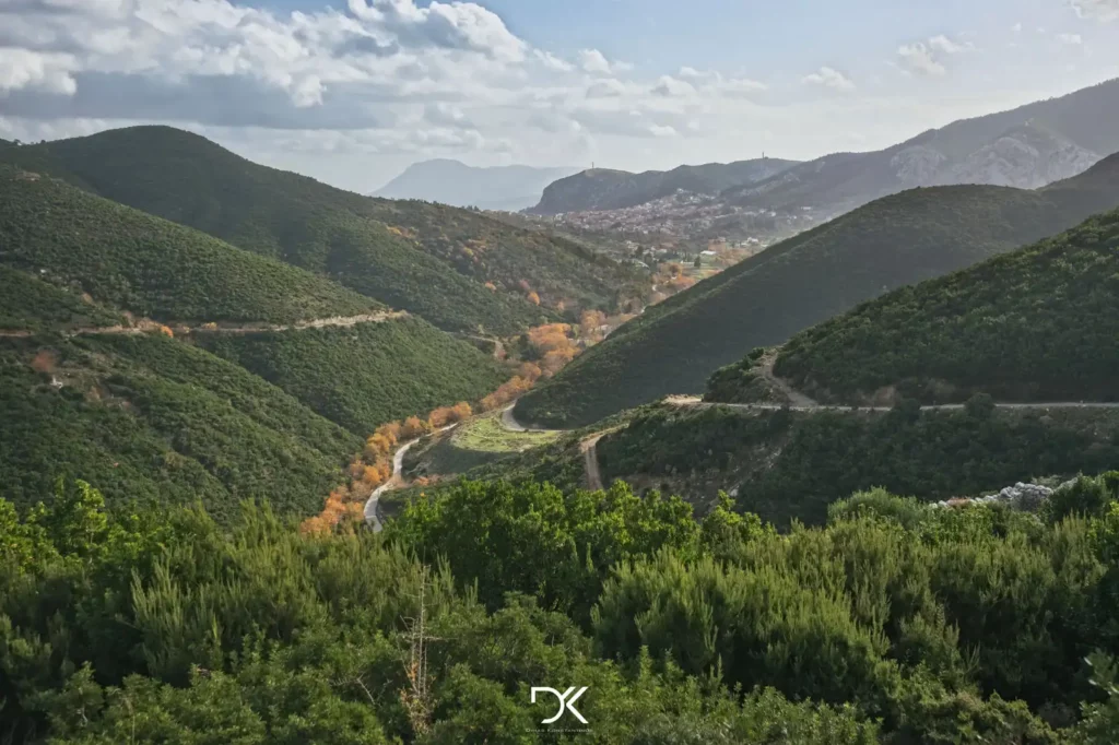
After Ortari, the route mainly descends, and towards the end, you pass through the beautiful village of Choneftiko, where you can relax under the trees.
Directions: The route starts from the central square of Kymi. You will need to download the AllTrails app on your mobile device and then click here to access the route. If you use a different application, you can download the Kml or Gpx files. You can also find the route on Google Maps.
For those who do not have a bike and want to enjoy some of the cycling routes, you can rent one from the Tank Trail Action Store.


