Manikia – Lake Setas
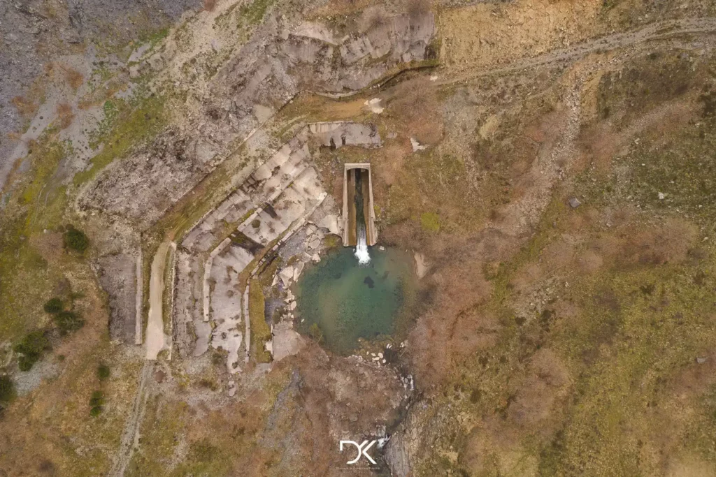
Manikia Dam
Distance: 27km
Bicycle: Electric Mountain
Type of route: Circular, first 16km asphalt and the rest of the route dirt road.
Difficulty level: Moderate
Elevation gain: 1168m
Although it is close to an hour by car to the starting point of the route, believe me, it is more than worth it. It is one of the most alluring cycling routes through lush landscapes and fir trees.
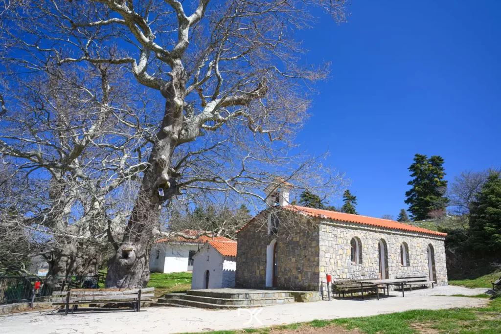
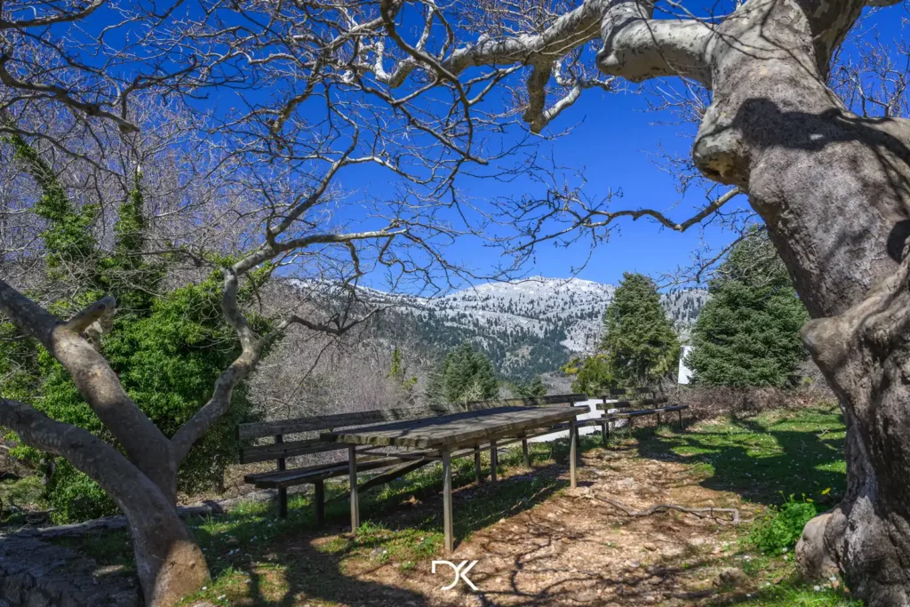
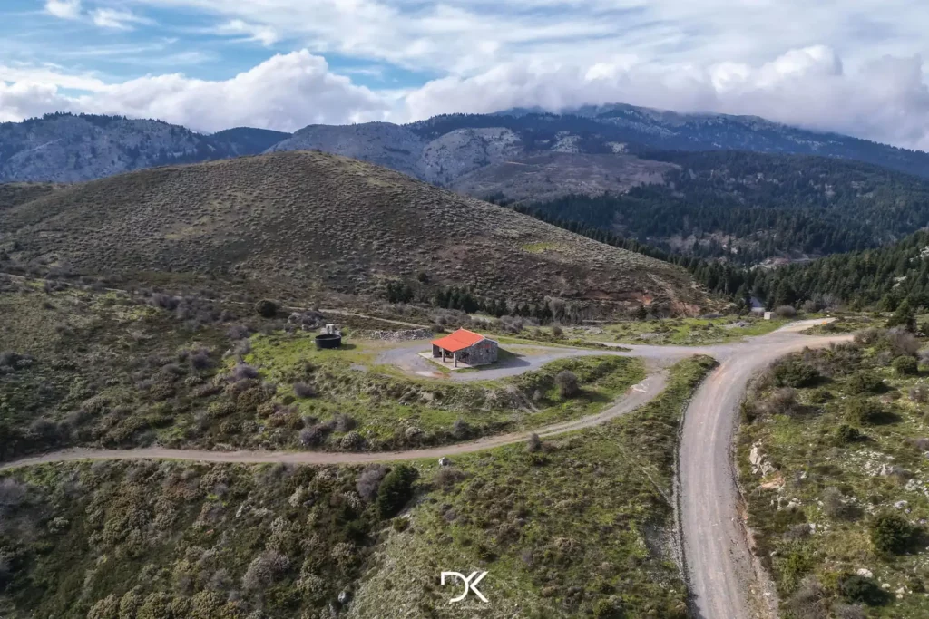
You start from the picturesque village of Manikia and follow an asphalt road (fortunately with almost no traffic) until you reach the beautiful chapels of Ampoudiotissa, where you can take a break and relax on the benches there.
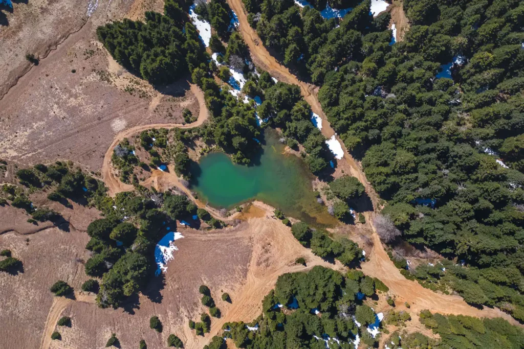
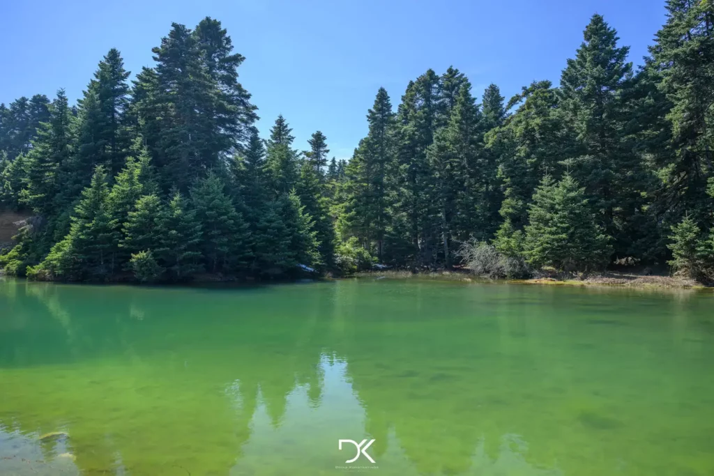
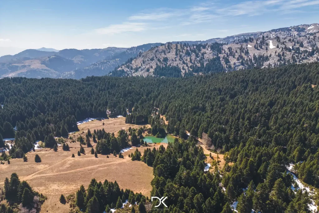
From there, the route continues through the fir trees, and as you progress, it gets increasingly scenic until you reach Lake of Seta. It’s implied that you should make another stop there and enjoy the tranquility of the lake. It is not a huge lake, but it has plenty of water until spring. During the summer months, you may find it without any water.
Next, after passing the Manikia Dam, which I am sure you will also like, you end up back in the village of Manikia, where you can sit at one of the two cafés that are open and replenish the fluids you lost. Now, whether it is a soft drink, coffee, or tsipouro (a Greek spirit), it’s up to you.
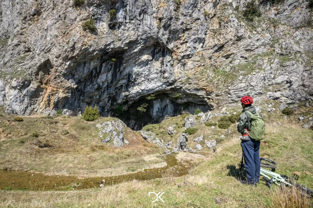
Extra information: Near the lake, there is a stunning cave to explore as well as a small river. (cave location)
Directions: The route starts from the village of Manikia. You should have downloaded the AllTrails app on your mobile and then click here to get the route. Since there may be no signal to view the trail at that moment, it is a good idea to have the app open earlier somewhere where you have a signal. Zoom in on the entire route so that it can be available later, and, of course, do not close the app window until you finish your cycling.
If you are using a different app, you can download the Kml or Gpx files. Also, the route is available on Google Maps.
For anyone who does not have a bicycle and wants to enjoy some of the cycling routes, you can rent one from Tank Trail Action Store.

