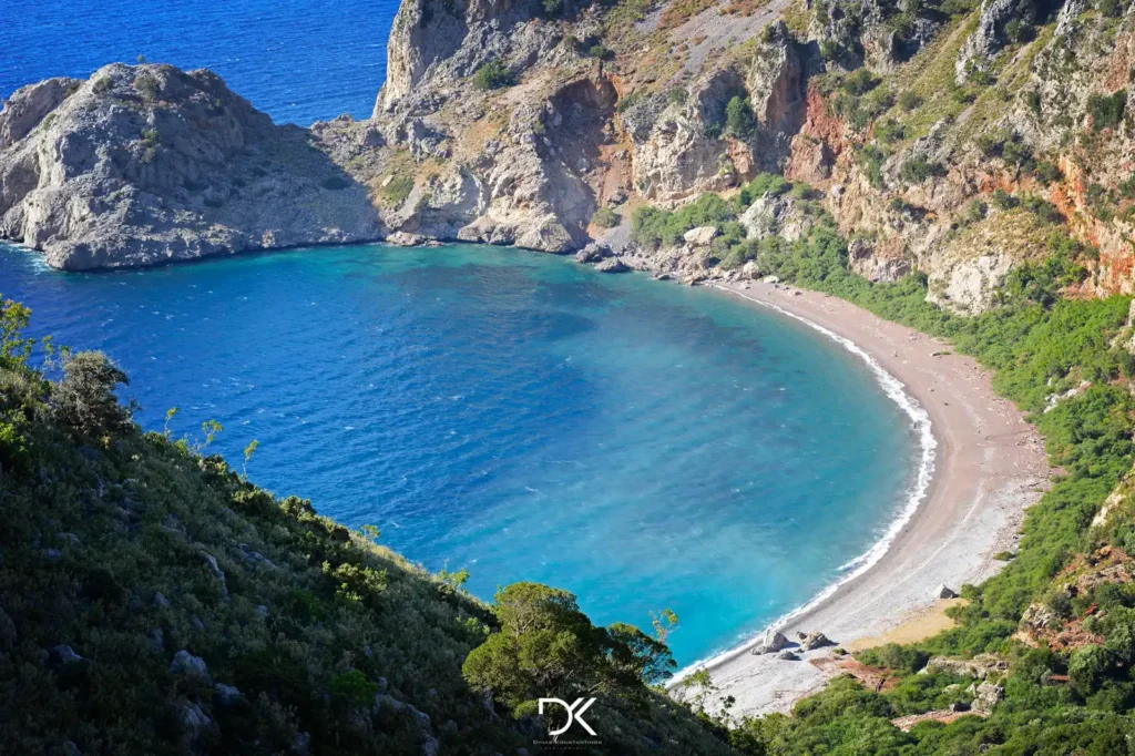
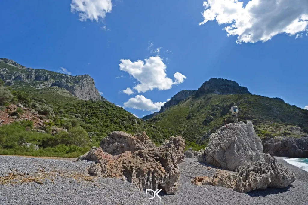
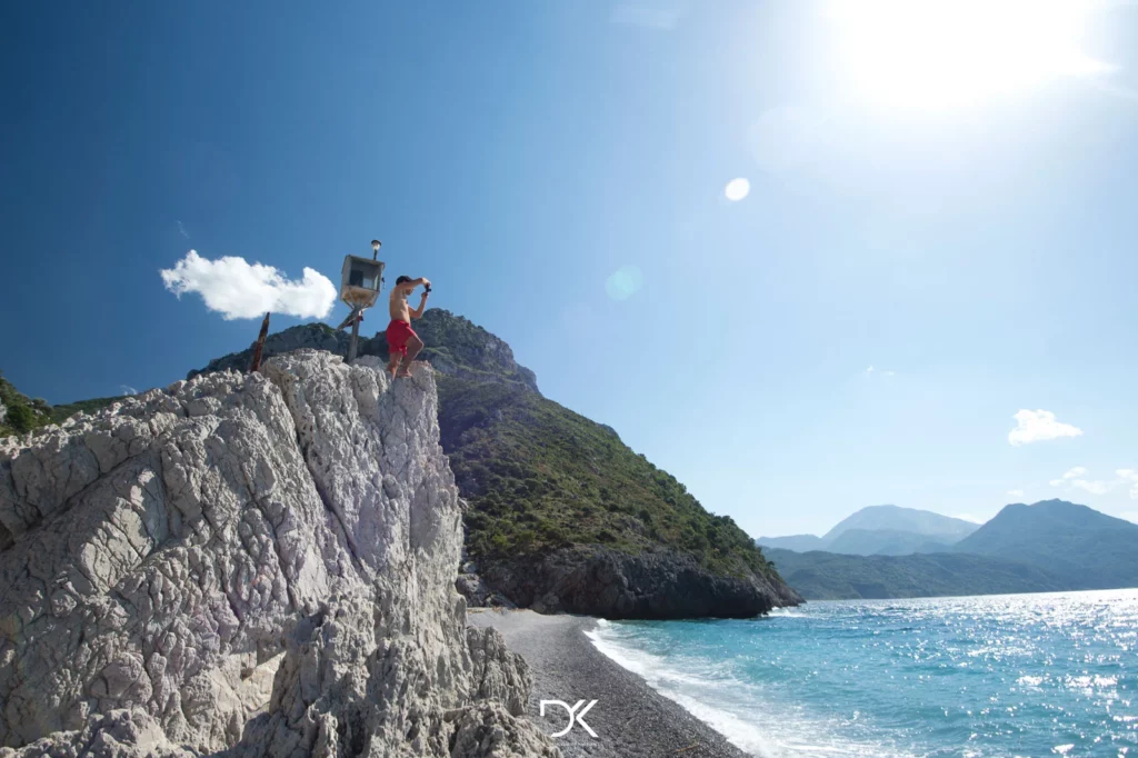
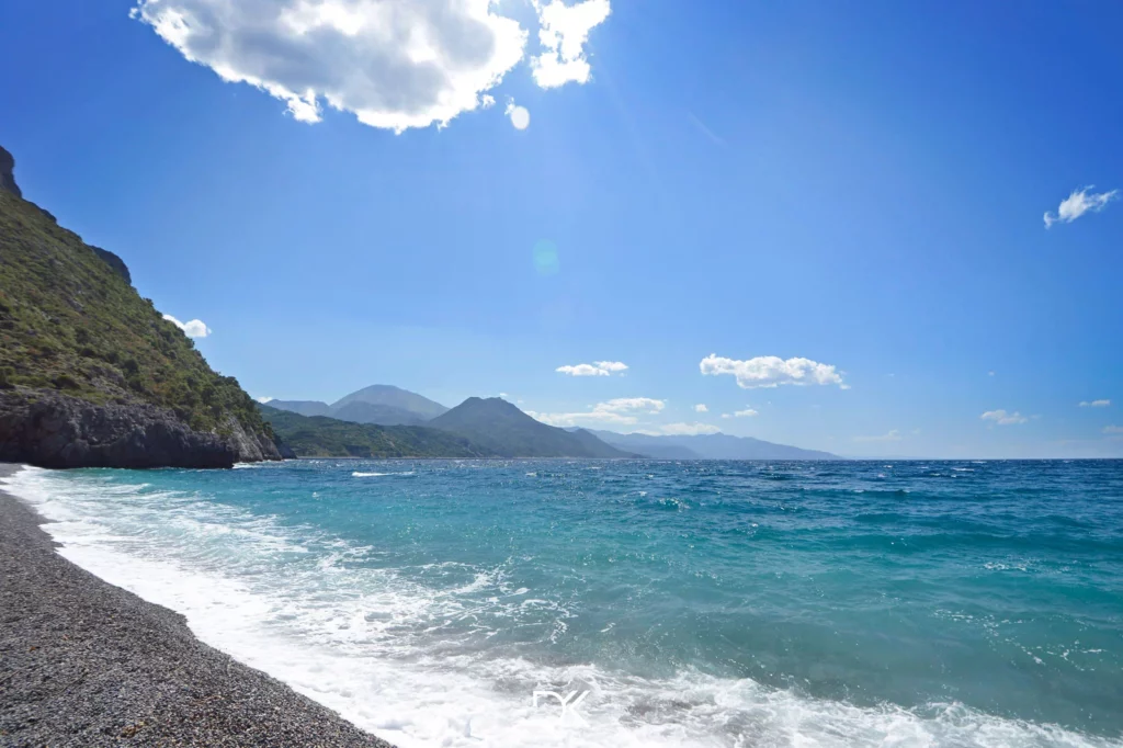
Route: Asphalt road until here, then a 5-kilometer hike to get there and another 5 kilometers to return.
Organized: No
Distances-Times:
From Athens: 144km – 2hrs 26min
From Chalkida: 66km – 1hr 27min
Food: Bring your own food. However, when you return to your car, you can go to the beach of Metochi and enjoy not only the fantastic journey but also have a great meal at the two taverns there.
Toilet: In nature
Showers: No
Suitable for children: No
What to bring with you: Plenty of water because you won’t find anywhere to refill your bottles, something to eat because you’ll definitely get hungry after such a journey, sunscreen, and if you have a small first-aid kit, it would be good to bring it along, just in case.
Weather: Click here
Caution: For those who choose to walk, make sure to bring plenty of water with you because the path is not only long but also rough. Also, since I haven’t taken this route in a long time, I’m not aware of its current condition.
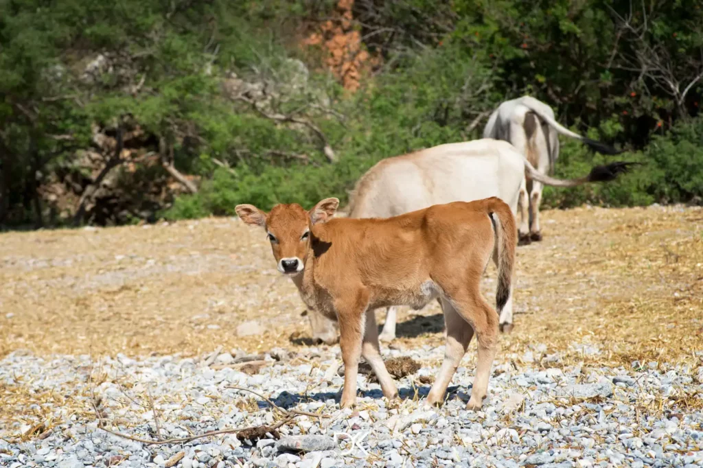
Extra information: It is about a 2-hour walk from the sheepfolds you might find along the way to the beach. Nevertheless, the shepherds (aged over 60) who own these sheepfolds complete the journey in less than an hour.
Directions on Google Maps: Drive to this point where the dirt road begins and then continue on foot along the trail to the beach. You’ll need to have the AllTrails app downloaded on your phone and then click here to get the trail to the beach. Since there might not be a signal to view the trail at that moment, it’s a good idea to have the app already open in an area with a signal. Zoom in on the entire route, and of course, don’t close the app window until you finish your hike.
Here you can see the trail on Google Maps, and if you prefer to follow only that, you’ll reach your destination just fine. The Kml and Gpx files are also available for anyone who wants to use another app.

